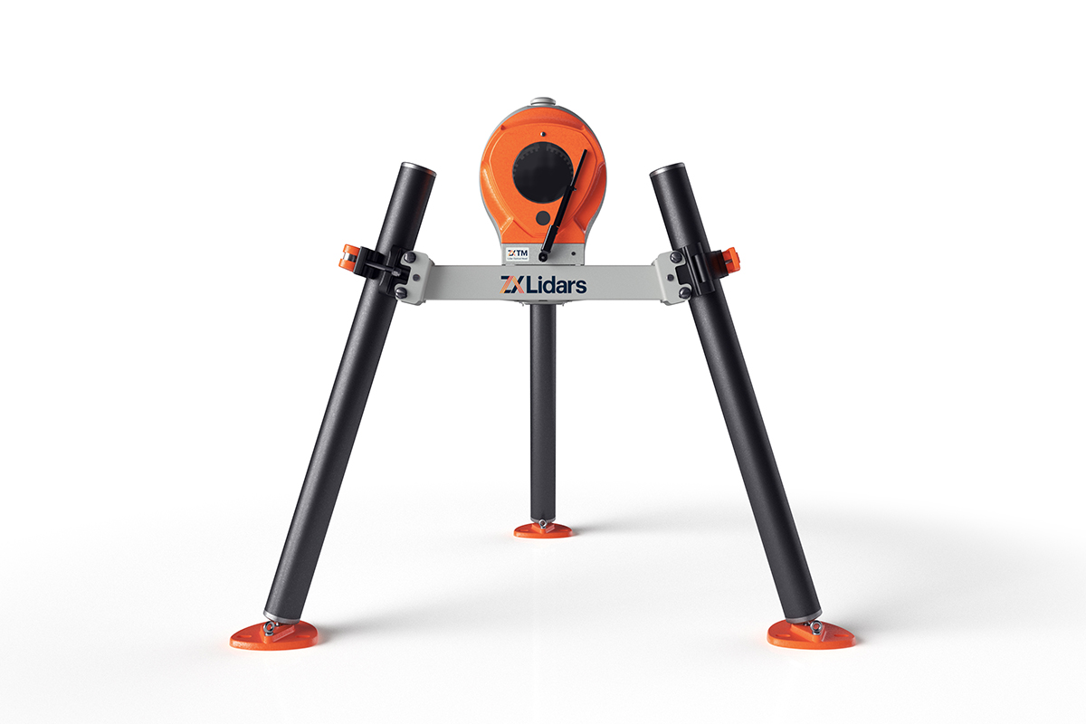
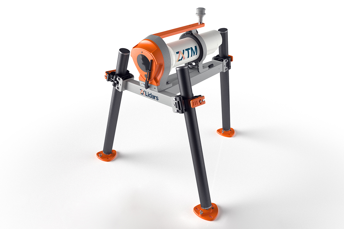
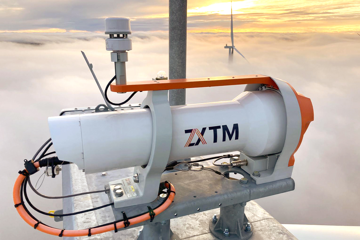
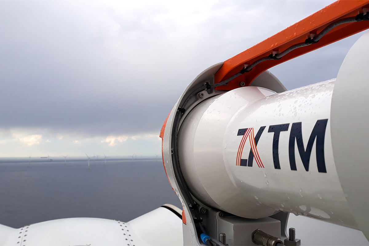
ZX TM Lidar
ZX TM is a nacelle-mounted Lidar that uses continuous wave technology to measure the full shear and veer wind profile of a wind turbine.


Details
ZX TM is the only Lidar to measure the full shear and veer wind profile of a wind turbine. The horizontal profiling Lidar is nacelle-mounted and uses continuous wave technology to measure the wind ahead of wind turbines from 10m to 550m. ZX TM has 17 Horizontal measurement ranges and up to 13 Vertical Slices at each range – the most comprehensive measurement capability of any Lidar, delivering Rotor Equivalent Wind Speed and Slices for IEC Power Curves.
ZX TM has been successfully evaluated by DNV, a leading independent engineering firm, and UL, a global safety science leader, to support wind turbine power performance evaluations and can help reduce costs and operational complexity when compared with met mast-based PPT campaigns. ZX TM can also minimize measurement uncertainty thanks to its high data availability and sampling rate. In addition to power performance testing, ZX TM is suitable for nacelle transfer function calibration, including yaw alignment and wake detection.
NRG Systems offers ZX TM as part of a turnkey measurement system that includes end-user training, installation and decommissioning services, data analysis, and product support and repairs, with the option to calibrate using an IEC-compliant mast at UL’s test site in the United States or DNV’s test site in Janneby, Schleswig-Holstein, Germany.
Rental options are available for this product. Contact sales@nrgsystems.com to learn more.
Benefits
- Reduce costs and complexity associated with traditional power performance testing
- Maximize benefits of wake management strategies by accurately and automatically detecting complex flow conditions
- Optimize wind turbine performance by calibrating nacelle transfer functions and correcting systematic yaw misalignments
- Collect accurate measurements above ground level (e.g. hub height)