
May 5, 2026 | by Brittany Good | Energy Policy, Engineering + Technology, Remote Sensing, Wind Plant Optimization, Wind Resource Assessment,
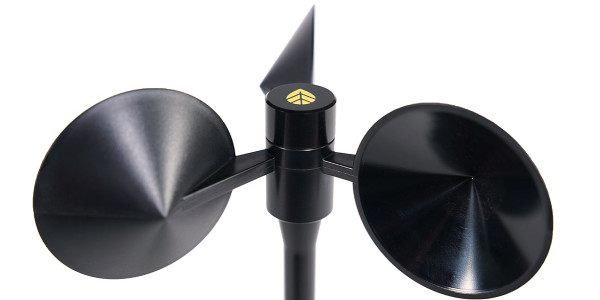
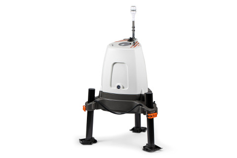 ZX 300e Wind Lidar
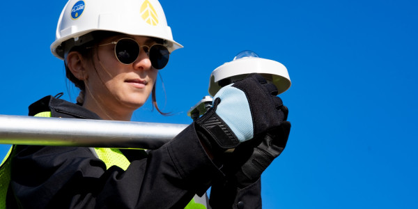
Lidar is firmly established as an industry-accepted alternative to traditional met towers for wind resource measurement. In addition to delivering precise, bankable data at hub height, Lidar systems offer significant deployment advantages: they are easy to transport and install, require minimal site preparation, and eliminate the need for height-related permitting.
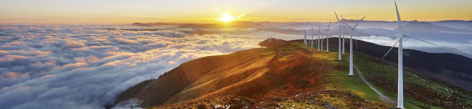
Across the U.S., wind project timelines are increasingly shaped by permitting complexity. Lengthy and often unpredictable approval processes – particularly at the federal level – are extending development schedules, introducing risk and driving up costs. In response, developers are looking for ways to maintain momentum by minimizing the need for federal permits wherever possible.
At the same time, electricity demand in the U.S. is rising at a pace not seen in decades, increasing pressure to bring new generating capacity online quickly. In this environment, speed-to-data matters. Lidar-based measurement campaigns enable developers to begin collecting wind resource data sooner, supporting more informed decision-making and helping development timelines stay on track.
Even in campaigns where met towers are preferred or required, Lidar provides a strategic advantage. While tower permitting and site preparation are underway – and potentially delayed – Lidar systems can be rapidly deployed to begin gathering continuous, high-quality data early in the campaign timeline. This approach reduces delays, accelerates site insight, and allows projects to progress in parallel with tower deployment.
This flexibility extends beyond pre-construction resource assessment. Lidar also supports operational wind measurements for power performance testing, turbine performance verification, and project optimization – without the cost, complexity, and permitting challenges associated with hub-height met towers.
NRG Systems offers turnkey Lidar measurement systems featuring ZX Lidars’ ZX 300e Wind Lidar – the industry’s leading vertical profiling Lidar, IEC Classified from 21 to 200m with a standard uncertainty of 0% at all heights. Designed for both resource assessment and operational wind plant applications, this complete remote sensing solution is backed by:
-
A 5-year warranty and service interval for long-term operational confidence
-
Flexible power solutions tailored to your site-specific requirements
-
Seamless installation and operational support from NRG’s expert team
-
More than a decade of experience supporting and servicing Doppler Lidar campaigns
-
Comprehensive data services to ensure optimal Lidar performance and reliable outcomes through ongoing analysis and reporting
The result is a turnkey measurement solution that combines rapid deployment with the trusted performance required for bankable wind resource measurements.
As permitting timelines continue to evolve, developers are taking a closer look at where they can reduce risk, improve efficiency, and maintain project momentum. Measurement strategy is a critical part of that equation. With minimal site preparation, no permitting requirements, and proven measurement accuracy, Lidar gives developers greater control in an increasingly uncertain development environment.
To learn more about NRG’s turnkey Lidar solutions, contact sales@nrgsystems.com or visit the ZX 300e Wind Lidar product page.