


Webinar: Get to Know TACT, an Open-source Tool for Evaluating Remote Sensing TI Measurements
As remote sensing devices become increasingly prevalent in wind resource campaigns, the need for tools that leverage the technology’s measurement output has grown. The Consortium for Advancing Remote Sensing (CFARS), a diverse group of industry stakeholders from North America and Europe, has been working to create this framework with the goal of accelerating adoption of remote sensing devices for wind energy applications. CFARS recently introduced the Turbulence Intensity Adjustment Comparison Tool (TACT), an open-source python tool used to evaluate the adjusted turbulence intensity (TI) measurements from a remote sensing device. TACT was spearheaded by CFARS' Site Suitability Subgroup, whose focus is increasing the overall acceptance of TI measurements from remote sensing devices by advancing the understanding of the accuracy and reliability of this measurement output and removing the nuance and ambiguity in best-practice methods. This webinar, led by Alexandra Arntsen, Ph.D., Lead Data Scientist at NRG Systems and Leader of CFARS’ Site Suitability Subgroup, provides a deep dive into TACT.
Download Calibration Reports
Our Calibration Report Retriever Tool is a comprehensive database of reports for the following products:
NRG Anemometers
110S Temperature Sensor
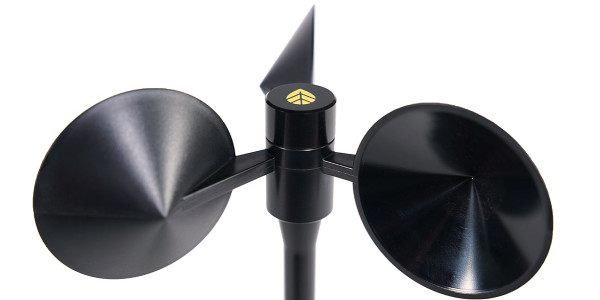
200M Wind Vane
200P Wind Vane
BP20 Barometric Pressure Sensor
BP60 + BP60C Barometric Pressure Sensor
HybridMC Anemometer + Vane
HybridXT Anemometer + Vane
PVT1 PV Temperature Sensor
T60 + T60C Temperature Sensor
R1 Pyranometer
R2 Pyranometer
RH5X Relative Humidity Sensor
Thies First Class Advanced Anemometer
WindSensor P2546-OPR Anemometer
Tech Support
Whether you are troubleshooting in the field or learning how to install a product, we are here for you.